Contents
- 1A Walking Tour of Tikal
- 2The Ancient Mayan City of Tikal
- 3Agriculture at Tikal
- 4Tikal Wildlife
- 5The Structures of Tikal
- 5.1The Q Complex twin pyramids
- 5.2Temple IV; the Two-headed Snake Temple
- 5.3The Great Pyramid
- 5.4The Sloping Panel Temple
- 5.5Temple III; The Temple of the Jaguar Priest
- 6The Grand Plaza
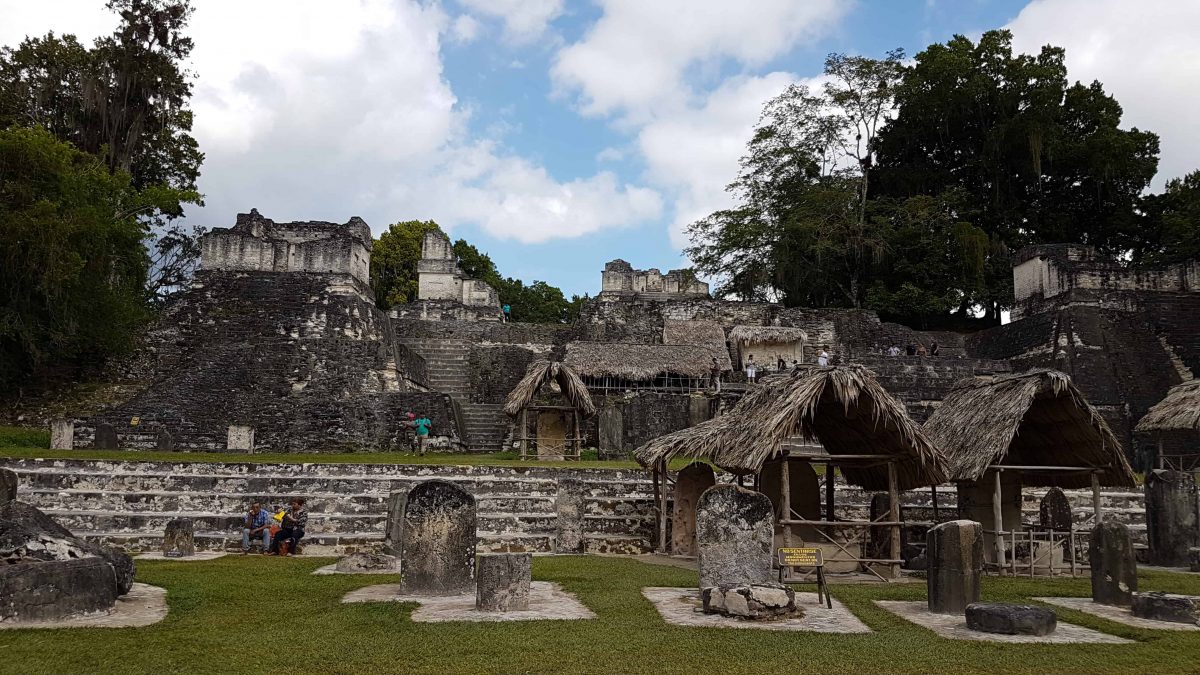
- 6.1The North Acropolis
- 6.2The Central Acropolis
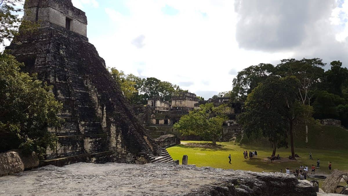
- 6.3Temple I
- 7What happened to Tikal?
- 8How to get to Tikal
- 9The best way to visit Tikal
- 9.1Tikal Accommodation
- 9.1.1Hotel Jungle Lodge
- 9.1.2Hotel Tikal Inn
- 9.1.3Jungle Lodge Tikal Hostal
- 10From Tikal to Belize
A Walking Tour of Tikal
Today we visit Tikal, and we want to beat as many tourists as we can so departure is 6am. We’ll be stopping for breakfast on the way. Later today we will cross the border into Belize where we will be spending the next four nights.
Breakfast was one of the better ones I’ve had in Guatemala. Eggs are a staple and these are served similarly to how I make mine. The toilets are concealed behind a hanging curtain, and we giggle over the lack of privacy awarded to bathrooms in this country.
We’ve arrived to the Mayan ruins of Tikal before 8am where we are greeted by our guide, Juan. Guatemalans are already manning their stalls in readiness for the days influx of visitors, but other than a few scattered people we are the only ones. Tikal is a major tourist destination and it won’t stay that way for long.
This post contains affiliate links. Making a purchase through one of these links earns a small commission at no cost to you and is a great way to show your support to this site.
The Ancient Mayan City of Tikal
Tikal flourished as one of the largest Mayan cities, which according to UNESCO was inhabited from the 6th Century BC to the 10th Century AD. It was eventually mysteriously abandoned by its Mayan civilisation, the last dated tablet in 889 AD. Tikal was discovered by modern archaeology in the Petén Province of Northern Guatemala in 1848. It was opened to the public in 1955 and declared a UNESCO site in 1979. The meaning of Tikal is ‘in the lagoon’ but it is known as ‘the place of the spirit voices’.
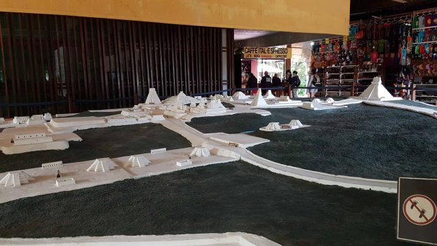
In front of the entrance to Tikal a large, white, to-scale model shows the expanse of the site that includes more than 3000 structures in its entirety. Juan spends some time pointing out the key locations on the model we’ll be going today and explaining the sophisticated constructions providing a water supply to the city. At least eight separate reservoirs were constructed and water was filtered with sand brought from a distance away. It’s a feat of engineering that enabled the city to thrive as it did for so long.
The residential part of the city itself covers an estimated 65 km², of which a large proportion has not been excavated or mapped. The land of the city extended to an area of 120 km². The core 16 km² of the city has been extensively mapped and excavated but the ruins are situated in the middle of the jungle through which visitors must walk between locations. Archaeologists believe it once rivalled Rome in size.
Agriculture at Tikal
Juan is a bottomless font of information and never stops talking the entire walk. His knowledge and passion for Tikal shines through. On our way to the first stop he is telling us about the evidence that supports the fact that the Mayans cultivated crops here in Tikal.
Aside from their impressive structures to store and direct water, soil analysis has been able to pinpoint areas of forest land cleared and used for growing crops, as well as irrigation, orchards and terraced structures. Scientists have also been able to identify that maize, beans, squash and root vegetables were grown at Tikal. Evidence has also been found suggesting cacao might have been grown. The ability to produce undoubtedly allowed the population of Tikal to swell beyond its ability to sustain itself, a key theory proposed to explain what happened to the Mayan civilisation of Tikal.
Tikal Wildlife
The map/guide I have purchased lists the local birdlife found in Tikal; Toucans, Vultures (though they seem to be everywhere else too) Woodpeckers, Parrots, Golden Oriole, Great Curassow, Occellated Turkey, Chachalaca and the North Jacana. There are also Howler and Spider Monkeys, Wild pigs, Coatis and Jaguars. While unlikely that we’ll be running into a Jaguar (we can hope) I am excited by the prospect of seeing some monkeys! We don’t have to wait long before they make an appearance, Spider Monkey’s are rustling in the trees above the clearing of our first stop.
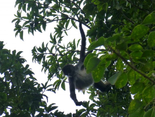
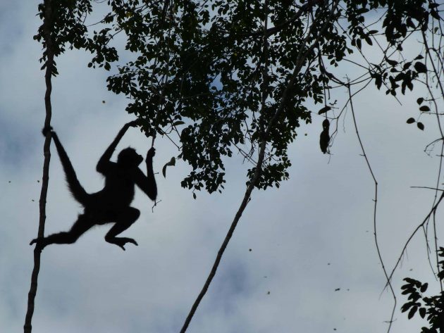
It is on our way to the Great Plaza that I, having abandoned my attempts to perfect the timing to capture a photo of a Spider Monkey leaping between the trees, instead change my strategy to video and am rewarded with a fabulous recording of a monkey scurrying down a tree then launching into another one with its arms spread wide.
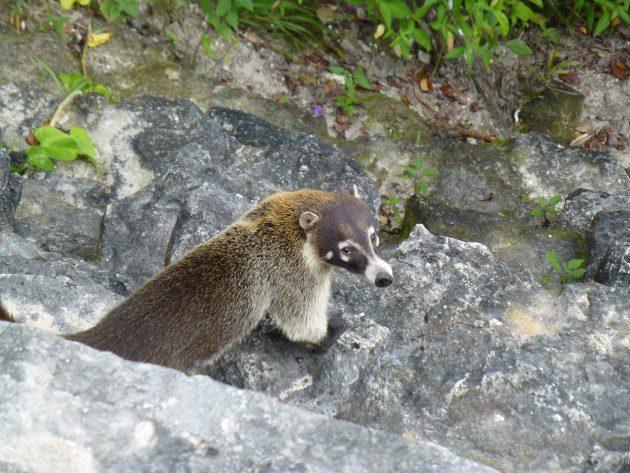
A Coati makes itself known at one of the temples, sniffing around the base of the stone steps of the top level, likely looking for food dropped by careless visitors. Juan tells me this would likely be a male, as the Coati society is matriarchal and the females kick the males out of their groups.
The Structures of Tikal
The Q Complex twin pyramids
According to LiveScience, the twin pyramid complexes were constructed by the rulers of Tikal to mark the passing of every 20-year period, starting as early as 672 AD. Each pyramid has a flat top with a staircase on each side and would be built adjacent to each other. The space between the pyramids formed a plaza. Nine twin pyramid complexes have been discovered so far in Tikal. Four other twin pyramid complexes have been found at other locations.
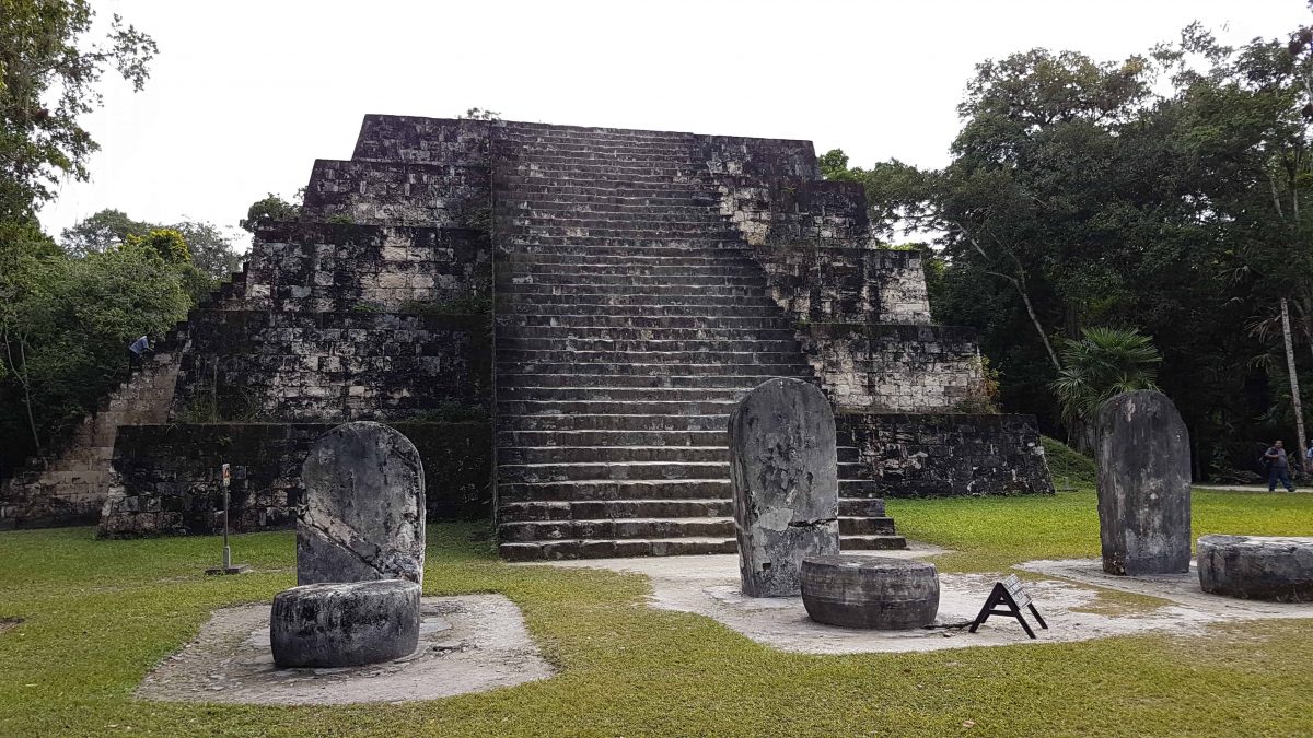
Our first stop on our walk of Tikal is one of these, a complex of four pyramids known simply as ‘Q’. This is the biggest complex of twin pyramids in Tikal and was associated with King Yax Nuun Ayiin II. On
the map this is shown as four pyramids but all we can see is the East one, in good condition, with a row of nine stone altars, or stela, lined up at it’s base. We are allowed to climb the stone stairs, which most of us do, admiring the view of the jungle canopy from the top. As with Teotihuacan in Mexico it is a careful climb down. Juan explains that the city is built on platforms elevated
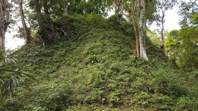
from ground level, and points out the edge of the one we are standing on, camouflaged by the jungle foliage. He also explains that each pyramid has a twin built on the same platform. The twin for this one belongs to the jungle still. After one of the pyramids collapsed during excavation they have become cautious of further excavations, and only one of the four in this complex is visible to us.
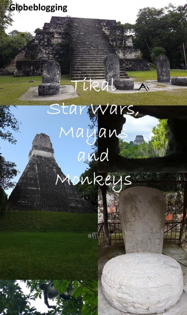
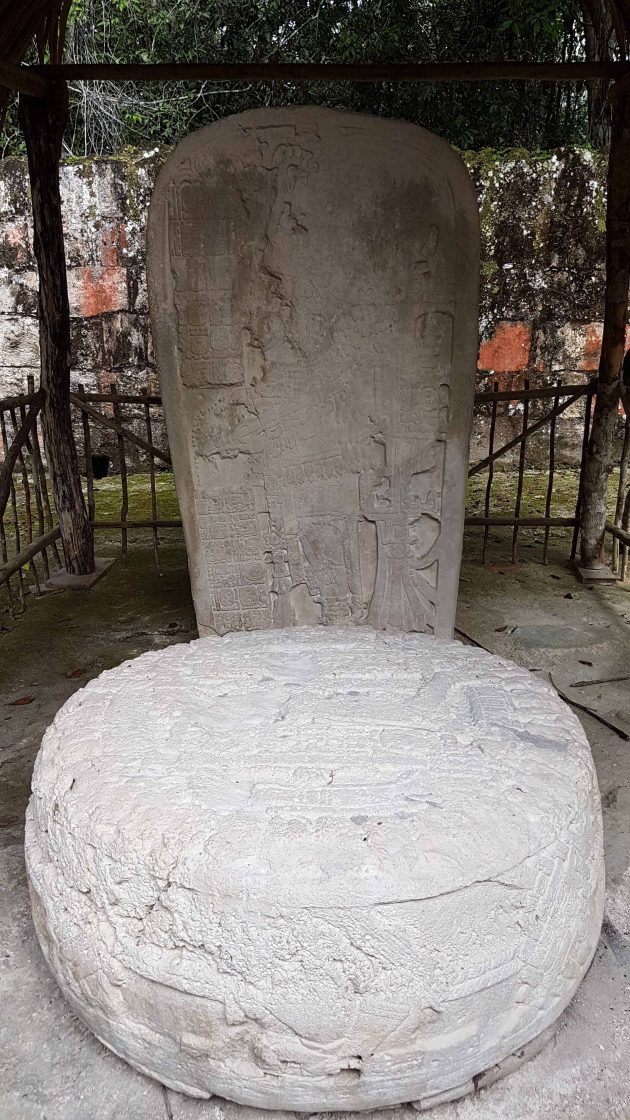
This spot also houses a large stone tablet, Stela 22, fenced in and protected by a thatched roof. More Spider Monkey’s leap in the trees behind it as Juan explains that each of the tablets found at the site tell a story, this one is about a king and a ceremonial sacrifice.
Temple IV; the Two-headed Snake Temple
We continue through the jungle to Temple IV, or the Two-headed Snake Temple, famous for it’s use in seven seconds of footage from the original Star Wars film. It is still recognizable as the same scene, Temple III poking its top out from the jungle ceiling and Temple I and II beyond. Built around 741 AD, the top is reached by a mammoth set of wooden stairs built beside the temple, it’s tough but I’ll take them over the stone steps of the pyramids any day. At seventy metres tall the temple is the tallest still standing in Tikal and in all Mesoamerica. It is mind boggling to think of the ingenuity required to build a stone structure this high in 740 AD. The view from the top is worth the climb and most of us sit for a while to take it in.
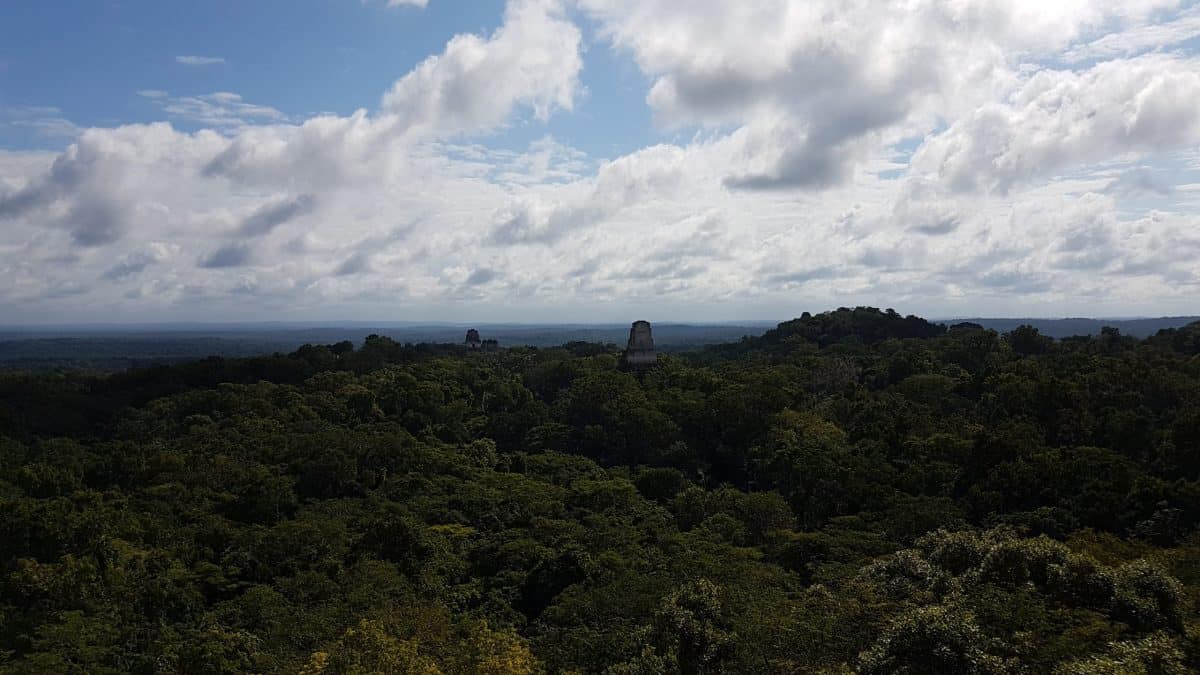
Temple IV was built to mark the reign of Yik’in Chan K’awiil and archaeologists believe his tomb lies somewhere beneath it.
The Great Pyramid
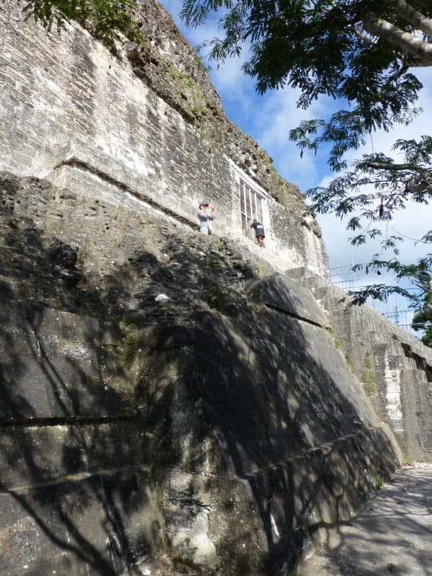
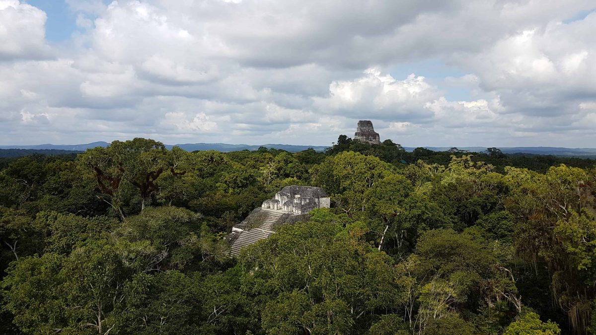
We move along the path to a part of the city named the Plaza of the Great Pyramid, but referred to as the Mundo Perdido, or ‘The Lost World.’ Juan tells us this is after the Sir Arthur Conan-Doyle novel. The Great Pyramid is the oldest building in Tikal dating to around 600BC. Standing 31 metres tall with ten levels, from the top the other large temples in the city can be seen. All the temples are constructed on an axis to line up together and are placed according to the position of the sun at the Equinox. They were the resting place of kings.
The Sloping Panel Temple
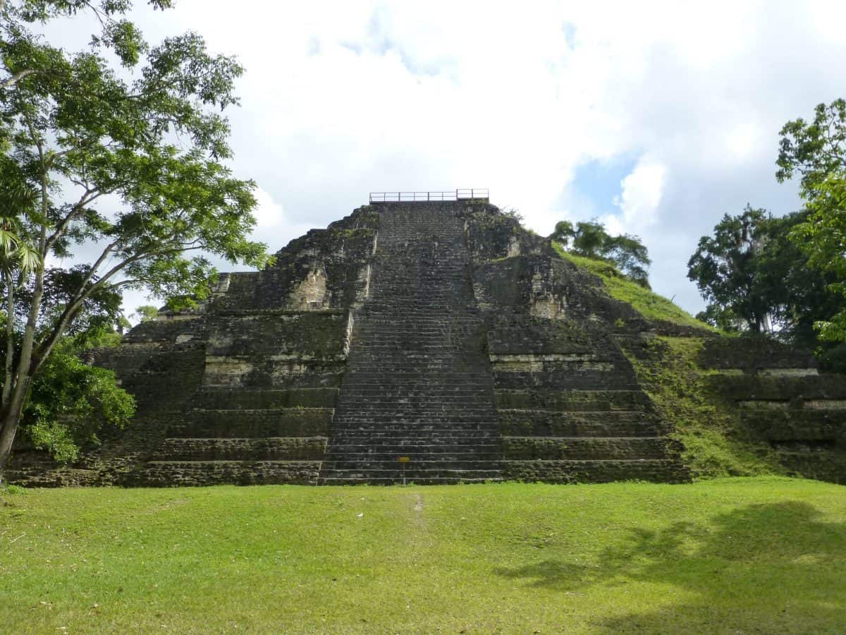
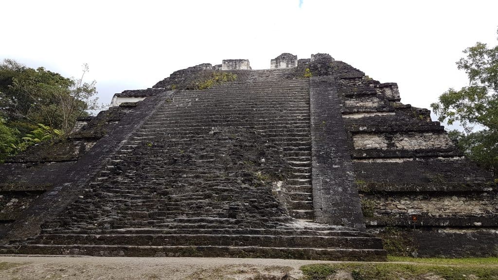
The other structure in the Mundo Perdido is the Sloping Panel temple, which has clear architectural influence from Teotihuacan, supporting evidence of trade relations between the two cities. It is the only temple at Tikal which uses this style of architecture. It stands 22 metres high.
Temple III; The Temple of the Jaguar Priest
The base of Temple III is buried in foliage and as such the best view is from the Great Pyramid or Temple IV. It can be seen emerging from the jungle canopy on the left of the below photo.
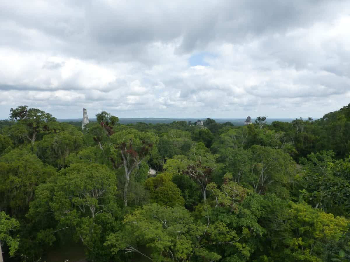
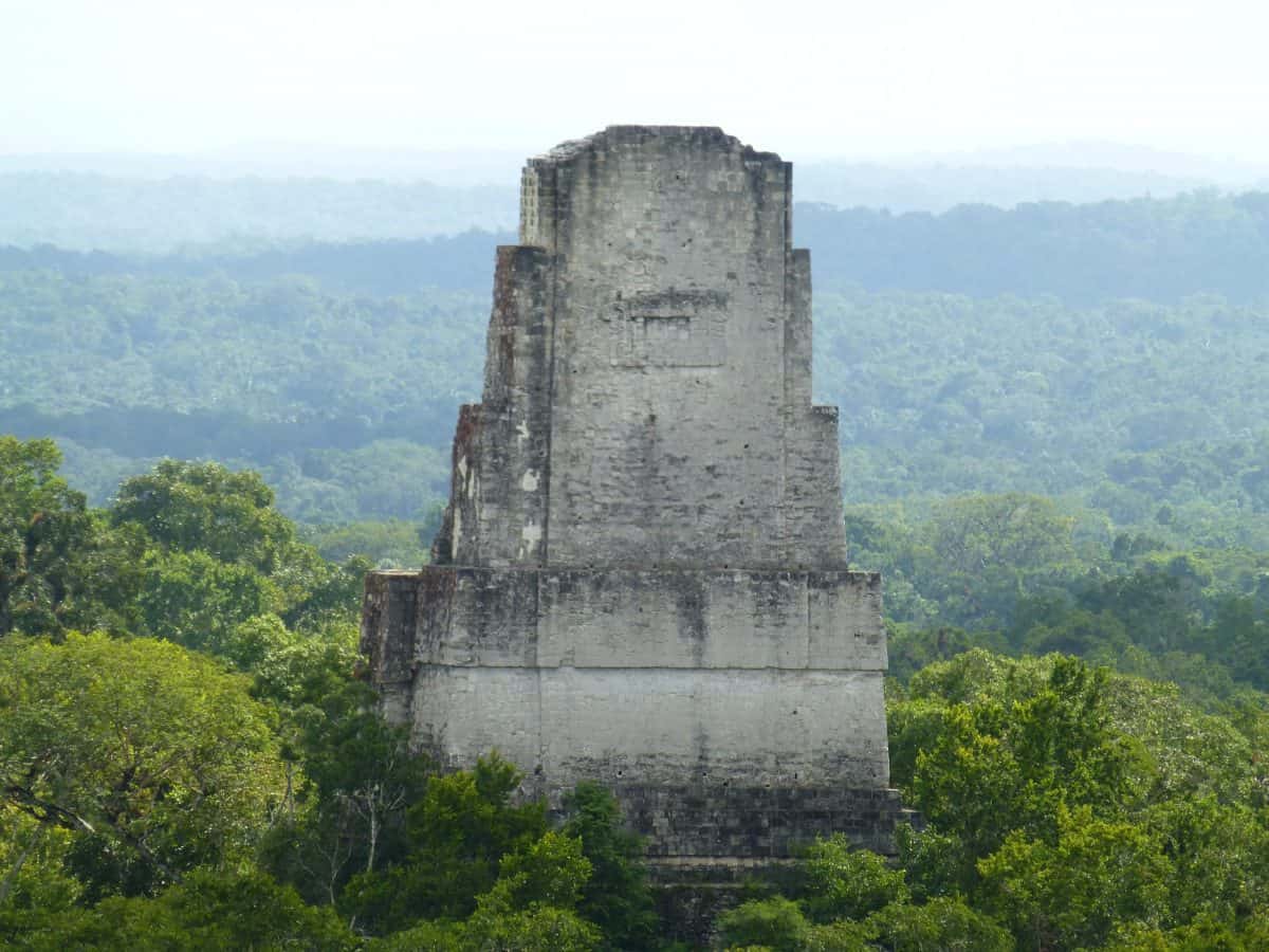
Temple III stands approximately 55 metres high and faces towards the Great Plaza. It dates to 810AD and is likely the funeral temple of the king Dark Sun. It was the last temple pyramid to be built at Tikal and differs from the others in that it has only two rooms at the top instead of three.
With a zoom camera, Temple IV offers a view of Temple III from behind as it is seen in the Star Wars scene.
The Grand Plaza
We walk past Temple III, buried in foliage, towards the Grand Plaza, considered the most important part of the site and the most impressive demonstration of the architecture. The buildings were built over a period of more than a thousand years. The plaza is the largest clearing we’ve yet seen, bordered by Temples I and II, the North Acropolis and the Central Acropolis. Behind the Central Acropolis lies the South Acropolis, which has not been excavated. Temple V lies behind the Central Acropolis.
The panorama below is taken from the Central Acropolis. The North Acropolis is straight in front with Temple I on the right and Temple II on the left.

The North Acropolis
The North Acropolis was the burial ground for the rulers of Tikal for more than five centuries, several members of the noble class have been found within. The remains of nobles are always evident because of their elongated foreheads. The Mayan’s wrapped skulls from birth until the age of 18 months to extend them while the bones are still soft. The North Acropolis is also the oldest part of the settlement along with the Lost World. The North Acropolis was occupied at least 1500 years.
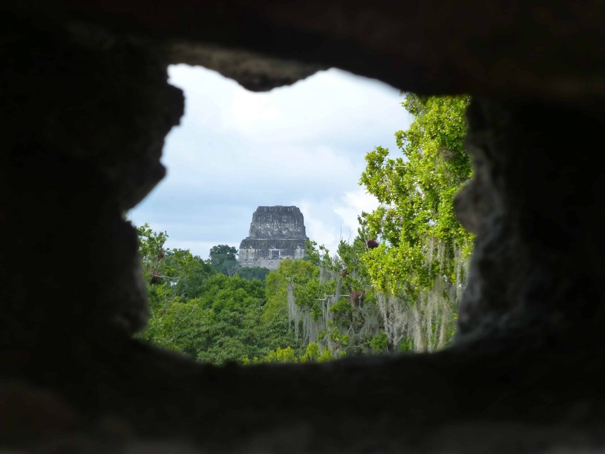
Juan sends us off to explore, telling us with a sly wink that most tourists don’t know that at the top of the North Acropolis is a window with a view looking straight to Temple IV and we’ll get the best photo from the site. A number of us make a beeline for the Acropolis, searching every window of each of the buildings. It is eventually located by a member of our group at the top of the rear building.
By the time we’ve climbed up and down every part of the North Acropolis I am breathing heavily, and welcome the flat ground of the clearing. There are excavations taking place at the base, but it is hard to see the subject of them beyond the scaffolding. The platform of the North Acropolis holds eight funerary temples built over more than 300 years, and engraved stela describe the history of the governors.
The Central Acropolis
The Central Acropolis was the residential part of the plaza, inhabited by the royal family and their relatives. It is a maze of hallways, courtyards and palaces comprising 45 buildings which was added to over the years.
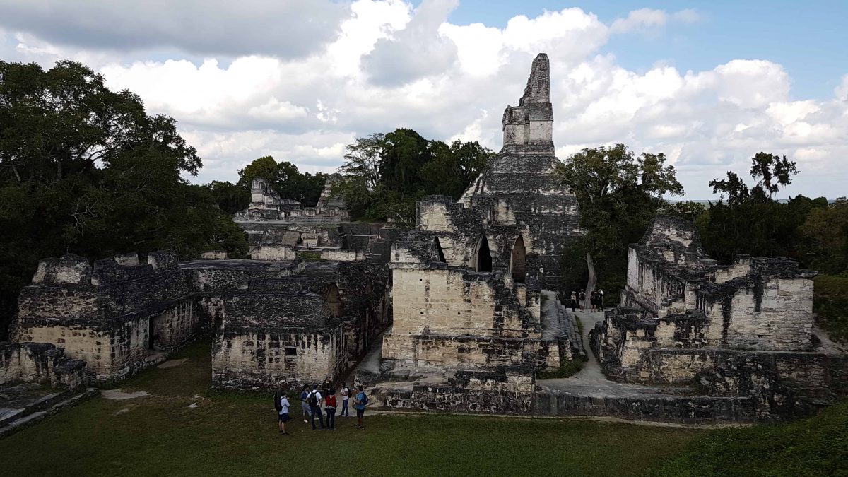
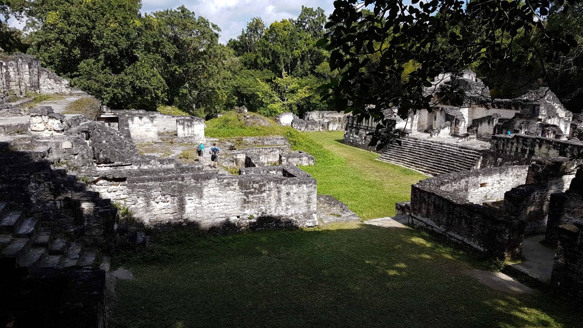
I wander over the grass to the Central Acropolis. Within the walls is another large clearing, surrounded by rooms built into the stone structures.
Despite the heat of the day it is quite cool within them, the structures are specifically designed to create an air flow that cools them down. Many of the rooms used as bedrooms have inbuilt stone platforms which served as beds. The Mayans were not tall it seems.
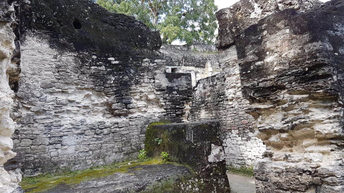
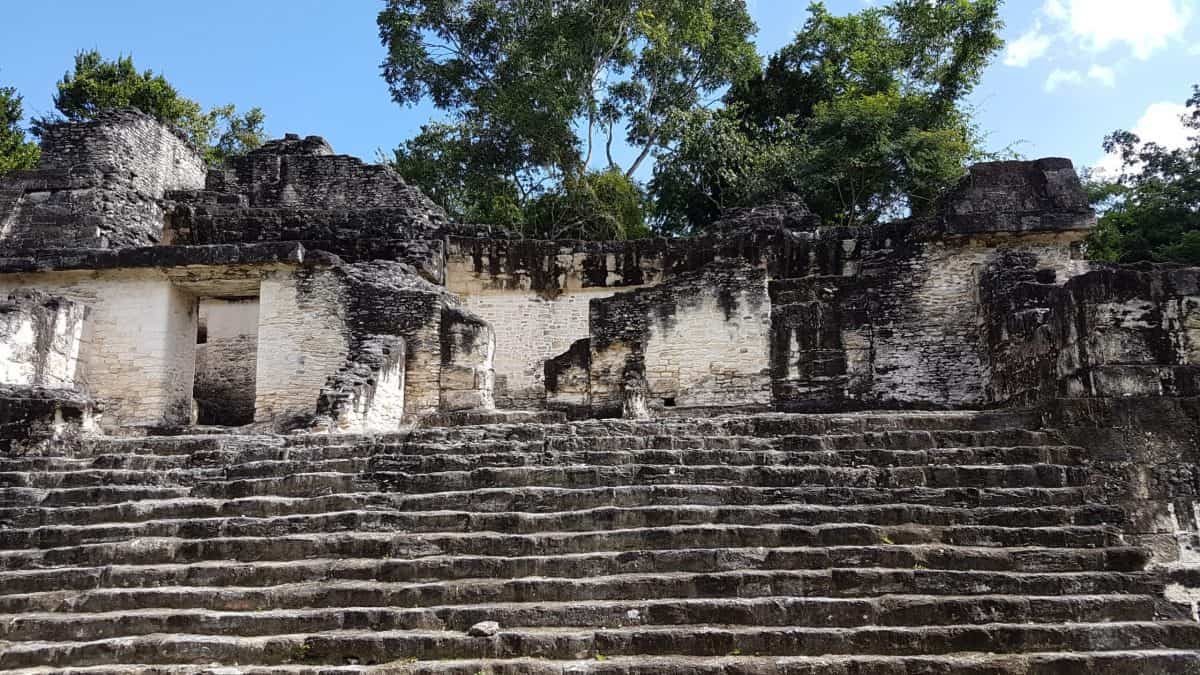
The place is a maze of passages and rooms and I eventually find myself at the top of the structure off to the side of where I entered, looking down at the stone and grass below.
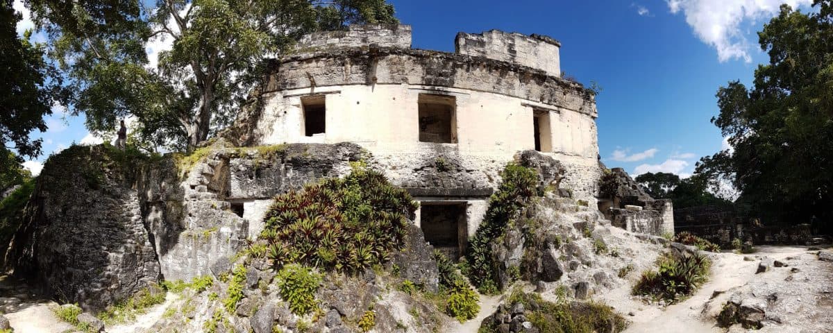
A curvature is evident to this part of the Central Acropolis when viewed from behind.
Temple I
Temples I and II stand above the grass of the Grand Plaza clearing, both built by Governor Jasaw Chan K’awiil, whose tomb lies within Temple I, around 700 AD.
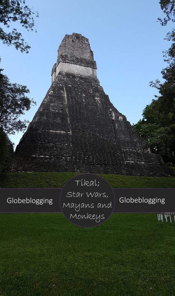
Temple I is comprised of nine tiers, which represent the nine levels of the underworld. It stands 37 metres above the grass clearing. It is known as the Big Jaguar due to a carving on top of the pyramid which depicts a king on a Jaguar throne.
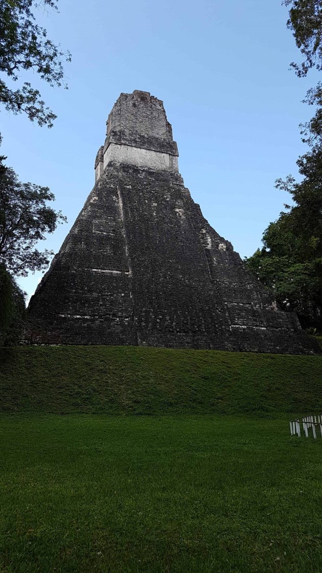
Temple II is known as the Mascarones Temple, and the carvings contained within are said to resemble his wife. It can be seen in the panorama photo above but I unfortunately ran out of time to take a closer look at it.
What happened to Tikal?
As Juan leads us on the path out, he explains that how they now know that a combination of decades of poor weather had left the Mayans unable to cultivate the food needed to support a growing population. There was rebellion, and sacrifices of the leaders, their skeletons identifiable as leaders by their flattened foreheads. Unfortunately for the citizens, with the leaders went their knowledge. Eventually the city was empty, its citizens departing for greener pastures or dying in the arid place Tikal had become, to be reclaimed in time by the Guatemalan jungle.
How to get to Tikal
The closest large town is the island of Flores, 66 kilometres away. If you don’t have a car and are not joining a Tikal day trip that departs from Flores you can catch a local bus or public minibus for less than $15 for the approximately two hour journey.
Purchase your day tour from Flores to Tikal.
Tikal can also be accessed from Belize. From San Ignacio it takes a little over two hours.
Purchase your day tour from San Ignacio to Belize
The best way to visit Tikal
The first thing to realise about visiting Tikal is that it is immense, and you are not going to see it all in one day. So whether you are short on time like I was, or have the luxury of being able to take your time, I’d recommend taking a tour because there is so much to know about Tikal that you wouldn’t learn on your own.
If you have the luxury of time, check out the experience of staying in Jungle accommodation available at Tikal and explore the site at your leisure. Tikal sunrise tours and Tikal sunset tours are also available, however the extended hours of the park that enable this are only accessible with a guide. Tikal is otherwise open from 6am – 6pm.
There is an entrance fee of US$4.20 for the museums, which are separate to the park entrance fee of approximately US$22 per person per day.
Tikal Accommodation
Hotel Jungle Lodge
The Hotel Jungle Lodge offers a pool and onsite restaurant and bungalow accommodation with private bathrooms. Airport transfers are available and the hotel can make all tour arrangements for you.
Take a look at the Hotel Jungle Lodge
Hotel Tikal Inn
A cheaper alternative to the Hotel Jungle Lodge, the Hotel Tikal Inn also features a pool and onsite restaurant with thatched cottage accommodation offering rainforest views. Airport transfers are available and the hotel can make all tour arrangements for you.
Take a look at the Hotel Tikal Inn
Jungle Lodge Tikal Hostal
The budget option, the Junge Lodge Hostal offers double or twin rooms with shared toilet facilities and on the edge of the jungle. There is an onsite pool and restaurant and airport transfers are available.
Take a look at the Jungle Lodge Tikal Hostal
If you are interested in reading more about the history and architecture of Tikal, Uncovered History is a great resource and was really helpful in filling in some of the details for me. You can also check out the official Tikal site.
From Tikal to Belize
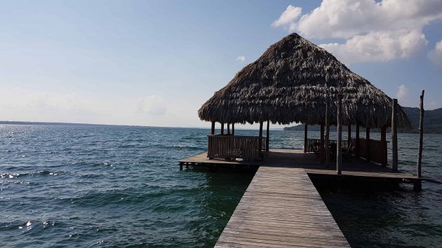
There is no time for gift purchases when we exit, but we stop for lunch at a hotel on a gorgeous lake and while some of the others swim I browse the store there, ticking another few gifts off the list as well as a three wise monkeys statue for myself. I’ve seen it many times so it is obviously a common design over here.
The border crossing into Belize is smooth. Our bus isn’t coming through with us so we need to carry everything through to reload onto our new bus on the Belizean side. Our destination for the evening is San Ignacio, where I will need to make a decision on the optional activity for tomorrow, the ATM cave. The idea makes me incredibly uncomfortable, but I keep hearing about how amazing the experience is and it’s the highlight of everyone’s trip. The alternative is sleeping in and catching the public bus to make the trip of several hours to the water taxi that will take us across the sea to Caye Caulker. I’m still uncertain as we sit listening to the guide explaining the day, but I take a breath and remind myself that it is something I wouldn’t get to do at home and I should suck in the experience. With a lump in my chest I tell them I’m in.
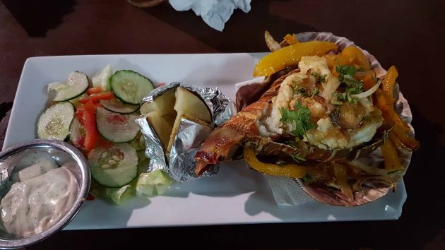
Dinner that night is a short distance from the hotel, and I have the first lobster of the trip. Lobster is my absolute favourite food. It also happens to be my mothers. Growing up whenever it was one of our birthdays the birthday meal of choice would always be lobster. I also always like to eat seafood when I’m on the coast, so when I saw lobster on the menu it was a no brainer. I usually go for a mornay but that’s not an option, here it is served in a garlic butter and it was seriously amazing. The meat is tender and full of flavor and it is like no other I’ve had before. It’s also a generous serve. Some of the others are looking enviously on as I close my eyes and savour the taste with a contented sigh, and understand when I share some with them, vowing to order it themselves the following night.
We have to pay extra to use electricity in our room since it is expensive in Belize. While we are able to be comfortable with the ceiling fan, our sleep is instead disturbed by nearby karaoke. I mumble to Ruth that I bet its some of our group, which as it happened turned out to be the case.
